Friday, June 12, 2015
Close Call in Shevlin Park Reminds Residents to Prepare Now
Update on the Shevlin Fire
Crews are expected remain on scene through Friday to ensure that there are no flare ups. Drivers are urged to use caution in the area, as there will still be some large firefighting equipment moving around the scene.
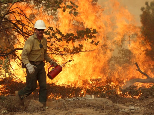
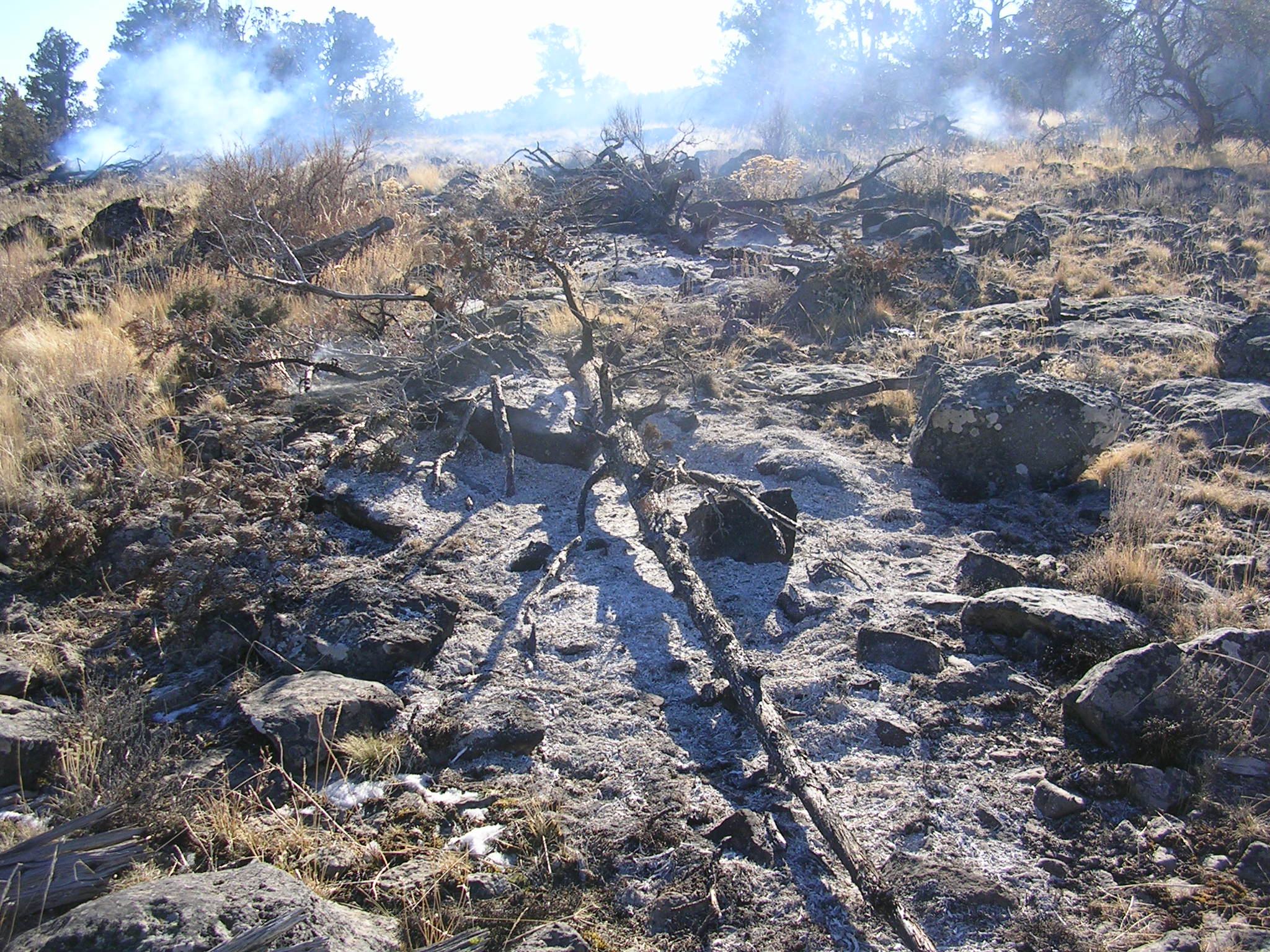
The fire, which started near the Tumalo Irrigation intake on Tumalo Creek, within the confines of Shevlin Park, burned 8-10 acres before being controlled by crews from Bend Fire, Oregon Department of Forestry, BLM and the Deschutes National Forest. A BLM helicopter provided several water drops and a large air tanker circled the scene for about an hour before finally being released from the area.
A mutual aid task force from departments around the county were requested and dispatched. These units patrolled through the subdivisions to the south of the fire.
During the incident, Shevlin Park Road was closed near McClain Road and three subdivisions south of the park were placed on a Level 1 Evacuation advisory. At the height if the incident, it is estimated that 90 people were on scene, although the number was reduced to 40 overnight, after the fire was contained.
Thursday, June 11, 2015
Evening update from Central Oregon Dispatch
Firefighters picked up six new wildfires today across Central Oregon, making a total of 17 wildfire incidents reported since Tuesday morning.
Most of those fires are small, lightning-caused wildfires with fire suppression responses underway.
A fire reported around 1:30 p.m. today at Shevlin Park in Bend was estimated at 8 to 10 acres with no new growth expected at the time of this update. Multiple agencies responded to the brush fire on state-administered land and a Level 1 pre-evacuation notice was issued to adjacent neighborhoods by Deschutes County Sheriff’s Office.
Visit Deschutes County’s Facebook pages for the latest Shevlin Fire news tonight:
Deschutes County main page: www.facebook.com/Deschutes.County
9-1-1: www.facebook.com/Deschutes911<http://www.facebook.com/Deschutes911>
Crews today made significant progress on two lightning-caused wildfires located on private and BLM-administered lands near Twickenham, approximately 14 miles southeast of Fossil, Ore. Incident 169 is about 150 acres and completely surrounded by retardant line. Interior burning continues to produce smoke but firefighters anticipate no new growth on the fire.
Incident 177, located nearby, remains estimated at 50 acres. Fire crews and a helicopter dropping retardant continue to build a line around the fire.
Both fires are burning in juniper, grass, and brush fuel types across steep terrain and drainages.
On the Deschutes National Forest, firefighters have completed a line around a 25-acre wildfire burning in steep timber and brush approximately 9 miles west of Sunriver and 10 miles south of Mt. Bachelor.
The fire is determined to be human-caused, but there is no more information available at this time.
Wednesday, June 10, 2015
Evening update from Central Oregon Dispatch
Firefighters in Central Oregon are currently responding to multiple incidents, many the result of recent lightning activity that accompanied yesterday’s thunderstorms across the region.
The largest incident is a 100-acre lightning-caused wildfire near Twickenham, approximately 14 miles southeast of Fossil, Ore. Incident 177 is burning in juniper, grass and brush fuels on both private and BLM-administered land. The fire suppression response includes multiple engines and smokejumpers.
On the Deschutes National Forest, firefighters are responding to Incident 172, approximately 9 miles west of Sunriver and 10 miles south of Mt. Bachelor. The 7-acre fire is burning in timber and brush. Multiple firefighters are hiking into the fire and a Type 2 helicopter is in response. Cause of the fire is undetermined.
Firefighters are currently responding to multiple other, small, lightning-caused single-tree fires across the Deschutes and Ochoco National Forests and the Prineville BLM.
The National Weather Service has issued a Red Flag warning for much of Central Oregon, to remain in effect through 8pm Friday. A Red Flag warning indicates a high likelihood for critical fire weather behavior, which includes strong winds, low relative humidity, and warm temperatures.
Friday, May 29, 2015
Register Your Phone for Emergency Notifications
If you have not put together your emergency kit visit Project Wildfire's website for the Deschutes County Evacuation guide that has all kinds of tips and tricks on how to build your kit.
Evacuation Guide Link
Wednesday, May 27, 2015
CNN Story: Stop Expecting Firefighters to Save Your Homes
Very insightful article calling for personal responsibility regarding homeowners preparing for fire season. Making sure that all parties are prepared, firefighters and homeowners in the WUI, will ensure that everyone goes home safely.
http://www.cnn.com/2015/05/27/opinions/dickman-wildfire-threat/
Thursday, May 7, 2015
City of Bend & Bend Fire Take on Defensible Space
It's Project Wildfire's partners that make our organization so successful. Without our local partners engaging in wildfire preparedness and carrying that message, Central Oregon would not be a national and regional leader in Fire Adapted Communities.
City of Bend and Bend Fire talk about the importance of defensible space in this 3 minute video. Take 3 minutes to watch and get ready for fire season! Prepare now before there is smoke of the horizon.
The dates for FireFree can be found at firefree.org or on our FireFree tab here on our blog.
Wednesday, May 6, 2015
Bark Mulch Demonstration With KTVZ
Bend Fire & Project Wildfire partnered to create a demonstration to show the flammability potential of bark mulch. Bark mulch can be susceptible to cigarette butts & embers from a wildfire.
Demonstration: bark dust a danger during fire season
The roof and the first 5 feet between your home and the surrounding fuels can make or break the chances of your home surviving a wildfire. Get ready for fire season now!
Go to firefree.org for tips and tricks on getting your home ready for fire season.
Wednesday, April 29, 2015
Great Grant Opportunity Below!!
Thursday, April 23, 2015
Prescribed Burns Today & Tomorrow on the Deschutes National Forest
Friday, April 17, 2015
It's FireFree Time!
Tuesday, March 17, 2015
Blog by NFPA's Lucian Deaton highlights an important point.
Friday, March 13, 2015
As West burns, local forests get scorched of resources
Tuesday, March 10, 2015
Prescribed burns continue in Maury Mountains Today
Prescribed Burns Continue in Maury Mountains Today.
jackpot burning in the Maury Mountains southeast of Prineville. Jackpot burning is
part of a hazardous fuels reduction program that addresses high concentrations of
naturally-occurring or thinning-related downed woody debris.
multiple units approximately 12 miles southeast of Post, Ore. Crews completed around
170 acres of jackpot burning in the Maury Mountains at the end of February before snow
halted the project. Plans also call for jackpot burning on the Crooked River National
Grassland this spring.
and 15 miles southwest and southeast of Madras, Ore.
and the reduction of hazardous fuels. Light smoke will be visible during ignition periods
but no impacts to major highways are expected. Fuels specialists follow policies outlined
in the Oregon Smoke Management Plan, which governs prescribed fires (including pile
burning) and attempts to minimize impacts to visibility and public health.
Prescribed Fires Planned for Today
Prescribed Burn Planned on the Sisters Ranger District Near Cold Springs Campground
SISTERS – Given favorable weather conditions, Deschutes National Forest fuel specialists on the Sisters Ranger District plan to conduct a prescribed burn beginning as early as Tuesday, March 10.
The prescribed fire area is 3 miles west of Sisters and ½ mile north of the Cold Springs Campground. The 160 acre “SAFR” unit is also approximately 2 miles south of Black Butte Ranch.
The prescribed fire objectives include modifying fuel arrangements in historically fire-adapted ecosystems, improving wildlife habitat, and minimizing the potential of future high intensity wildfires.
The communities of Black Butte Ranch and Cascade Meadow Ranch could be impacted by smoke as a result this project. Due to the location of these units, the public could see smoke and drivers may experience smoke impacts on nearby highways and Forest roads. For all prescribed fires, signs will be posted on significant nearby Forest roads and state highways that could be impacted. No road closures are anticipated with these projects.
Fuels specialists will follow policies outlined in the Oregon Department of Forestry smoke management plan, which governs prescribed fires, and attempts to minimize impacts to visibility and public health.
Tuesday, March 3, 2015
An Early Start to Fire Season
Washington's Fire Season Starts off with a 150-acre fire
Fire season is going to be here before we know it and it has already arrived in areas nearby. Get prepared for fire season by checking out the 10 FireFree steps and Fire Adapted Communities website to find out how to become more Fire Adapted.